Mapping and modelling services

Utilize aerial modelling data for effective maintenance or design
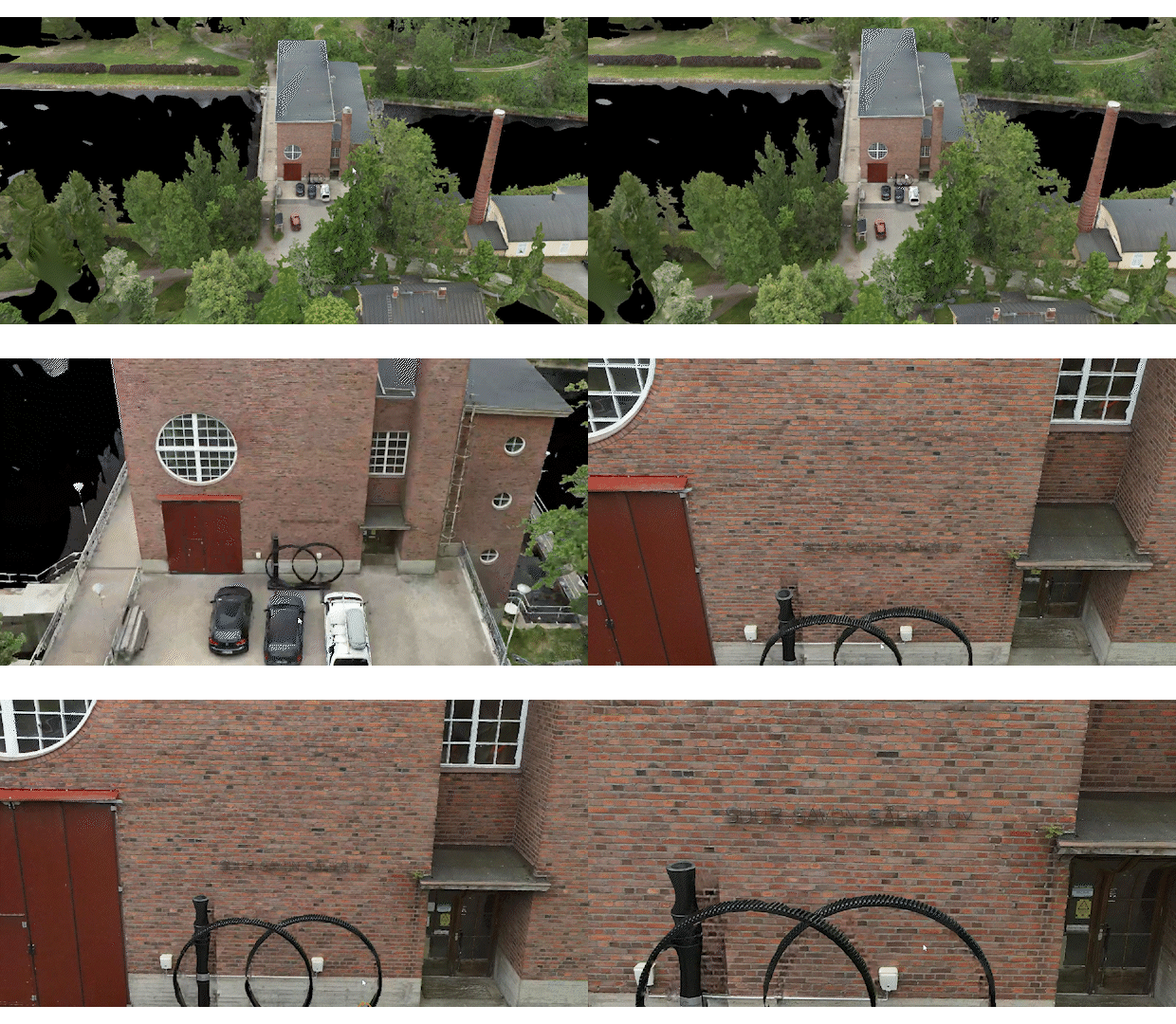
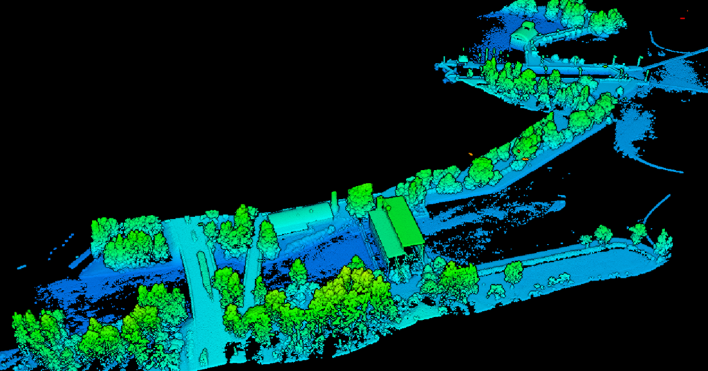
We use drones to model and inspect various structures. The data collected by the drones can be used to prepare demanding maintenance work and plan construction work. We use the data to produce point clouds and photogrammetry.

Interested?
Why choose Evision?
Accurate data quickly – from the air
Savings
You can use our materials in your planning to optimise your project’s resources.
Pricing
Every project is priced separately based on the size and location of the asset or site. Contact us to request a quote.
Our partners


What makes us the best partner?
We utilise the latest technology that improves the accuracy of data collection, the consistency of observations, and the predictability of maintenance.
Artificial intelligence technology produces precise observations of deviations in an easily actionable and understandable form. We upload the materials to our online platform for easy viewing.
Drones are an emissions-free and quiet tool for collecting data. Drones can also operate, observe, and locate faults even in low-light conditions.


